Cappadocia
Cappadocia Valley Walks: How to Choose a Suitable Route
The short answer
Choose a Cappadocia walk by its mapped start and finish, surfaces, gradients, current conditions and return transport. Rose, Red and Pigeon Valley are areas with different possible routes, not single walks with fixed difficulty ratings. Obtain a current route description locally, then match its demands to your experience, available daylight and the needs of the group.
A walk can be a short return to the same starting point, a loop or a journey ending somewhere else. That distinction changes the practical day before any valley name enters the plan.
Photography, pauses at rock-cut details and the time spent finding a path also belong in the estimate. The aim is a route you can follow comfortably, with enough of the day left to get back.
Out-and-back, loop or point-to-point
An out-and-back keeps the return familiar. A loop adds variety but depends on a suitable, identifiable connection. A point-to-point walk can cover new ground throughout, provided the pickup or onward transport is arranged.
Get the starting point marked precisely. Two descriptions using the same valley name may begin on different approaches and involve different slopes, surfaces and distances.
Rose, Red and Pigeon as walking areas
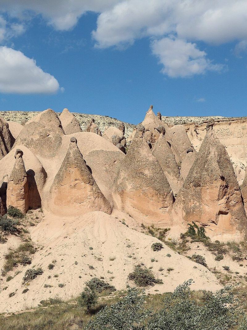
Rose and Red Valley attract attention for the colour and shape of the rock. Pigeon Valley introduces another familiar name in the region’s walking geography. Their appeal is a starting point for choosing an area; route-specific information is needed to compare the difficulty of individual walks.
Discuss narrow, steep or loose sections and the effect of recent weather. UNESCO describes Cappadocia’s vulnerability to natural erosion and tourism pressures. Respect barriers and permitted paths, including where an older online route shows a connection into a restricted area.
Conditions and the group
Heat, rain, ice and fatigue can alter the plan. Take water, suitable footwear and the protection required for the day. A shorter shared route or a separate meeting arrangement may suit a mixed group.
Underground sites involve a different set of demands, including confined passages and steps. Accessible travel planning sets out the questions for comparing alternatives around individual needs.
Photography and the return in daylight
A walk devoted to photographs or rock-cut details needs more stopping time than the same distance covered for exercise. Keep that allowance in the plan instead of hurrying the final section.
For sunset light, select a position with a clear return in daylight or an appropriately established exit. A phone light is not a substitute for knowledge of unfamiliar terrain. Drone use, commercial photography and entry to religious interiors require their own permissions.
Establish the route locally
A knowledgeable local guide or accommodation can help identify a current route and the return arrangements. Explain your experience, preferred walking time and access needs. If the route description remains unclear, use a simpler outing.
The Cappadocia region page connects the landforms with the settlements and interiors you may encounter. A manageable walk gives those details their place within the wider visit.
Our judgment
Set the finish and return first, then agree the walking route. Shorten or abandon the outing if conditions or wayfinding become uncertain.
Related decisions